


Main map
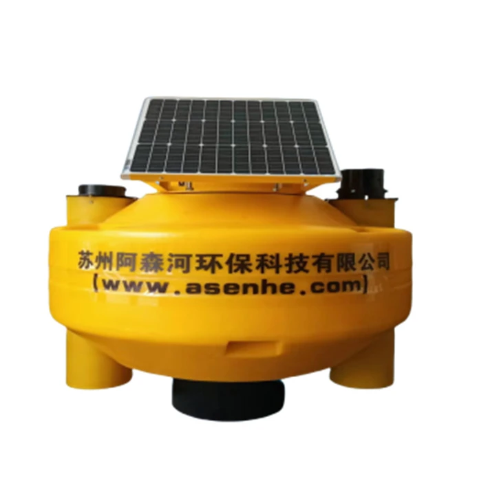
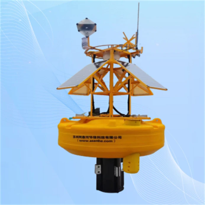
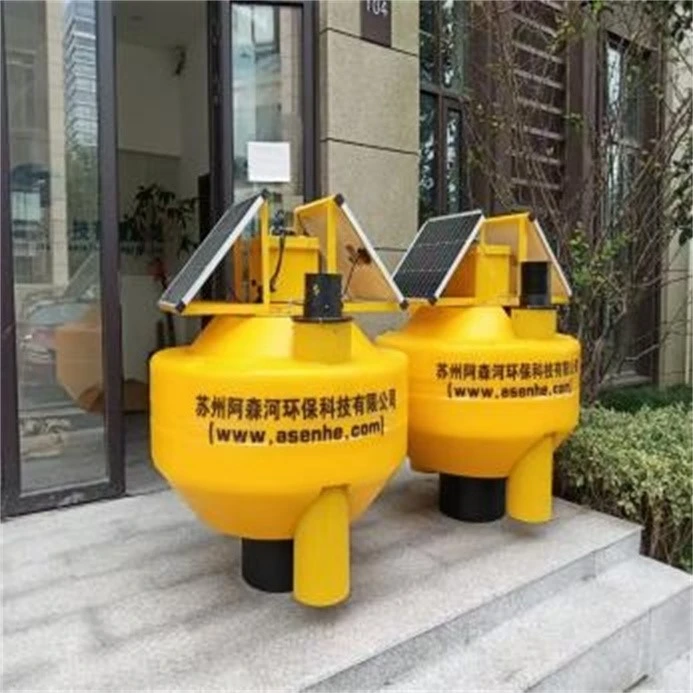
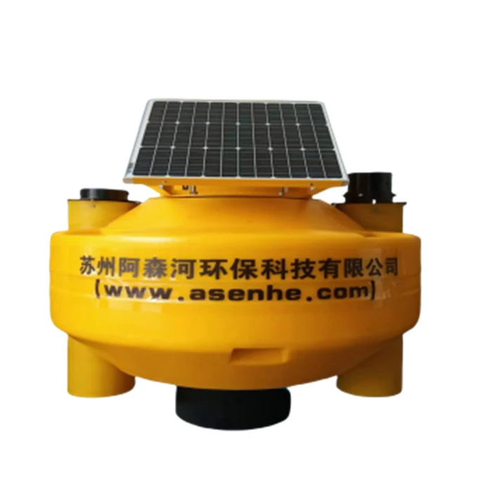
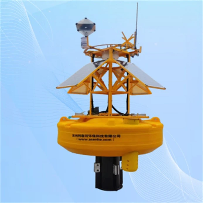
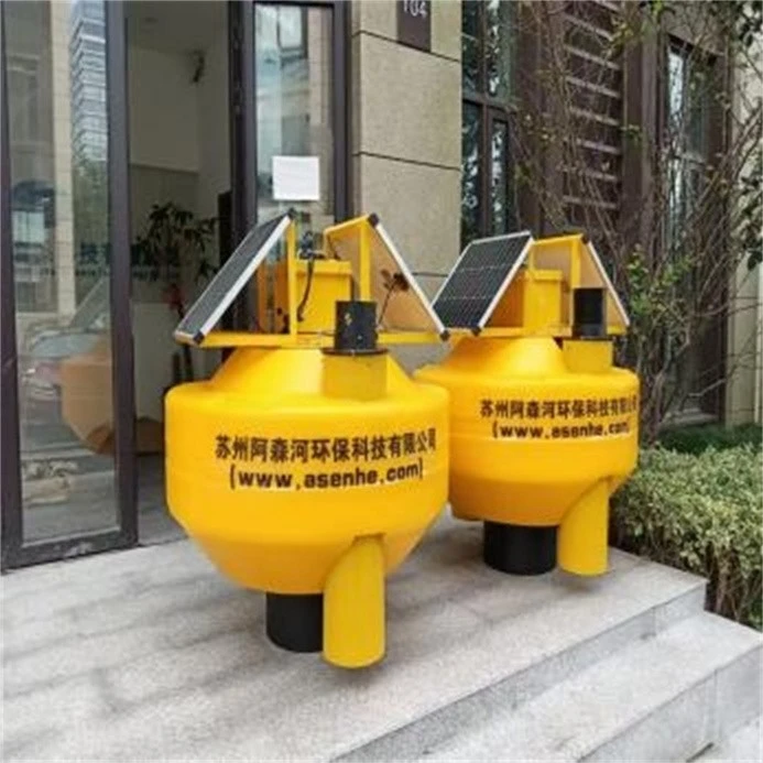
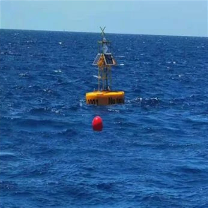
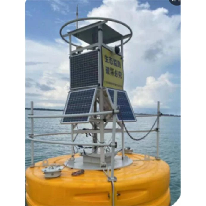
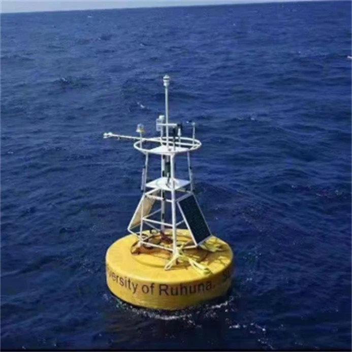
A data buoy is a device installed at sea, mainly used to measure and record Marine environmental data, such as sea water temperature, salinity, flow rate, etc., to support work such as oceanographic research, ocean engineering, and meteorological forecasting. Data buoys usually consist of parts such as sensors, data loggers and power sources. The sensor is responsible for collecting various environmental data, the data logger is responsible for storing this data, and the power supply ensures the proper operation of the device. Through wireless communication technology, such as 4G, 5G or wireless technology, the buoys can send the collected data back to the ground measurement and control terminal in real time. With the continuous progress and innovation of science and technology, the functions and applications of data buoys are also constantly expanding and improving. The buoy may integrate more sensors to provide more comprehensive Marine environment monitoring data; To help scientists better understand Marine ecosystems and provide more data basis for environmental protection and resource management . At the same time, the degree of intelligence and automation of the data buoy will also be improved, so that it can better adapt to the complex and changeable Marine environment .
Product Specifications
|
Diameter (mm) |
900 |
1800 |
2300 |
3200 |
|
Focal plane (mm) |
1250 |
2000 |
2500 |
3500 |
|
Reserve buoyancy (kg) |
180 |
1401 |
2490 |
5000 |
|
Weight (kg)* |
200 |
850 |
1200 |
2200 |
|
Water line position (mm) |
560 |
1200 |
1500 |
1800 |
|
Full height (mm) |
980 |
3000 |
4000 |
5000 |
|
Name |
Data buoy |
||||||||||||||||||||||||||||||||||
|
Power supply system |
Storage battery |
12VDC80AH/80-200AH |
|||||||||||||||||||||||||||||||||
|
Solar panel |
12v/80W-400W |
||||||||||||||||||||||||||||||||||
|
Position indication |
Warning lights; GPS location; AIS |
||||||||||||||||||||||||||||||||||
|
Data acquisition |
4G, 5G, wireless communication, Lora, |
||||||||||||||||||||||||||||||||||
|
Support monitoring sensor parameters |
Conductivity range :0-5000uS/cm pH range: 0-14 pH, Ammonia nitrogen range :0-100mg/ UVCOD measuring range :0-400mg/L Wave height: Range: 0-25m Accuracy: <±3% Wave period: Range: 1.5-25s Accuracy: <±0.2 seconds Wave direction: Range: 0-360 ° Measuring range 0-300cm /s Accuracy ±0.15cm/s Relative accuracy ±1% reading Measuring range 0-360° magnetic Angle
|
||||||||||||||||||||||||||||||||||
|
Additional customization: visibility, weather |
|||||||||||||||||||||||||||||||||||
Application Scenarios
1. Marine resource development
2. Marine wind farms
3. Marine pollutant Monitoring
Packaging and Transportation
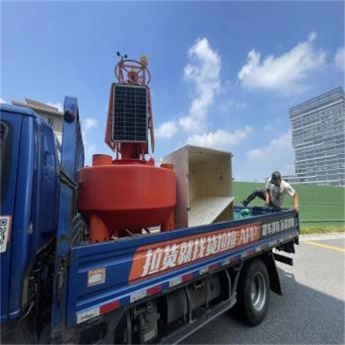
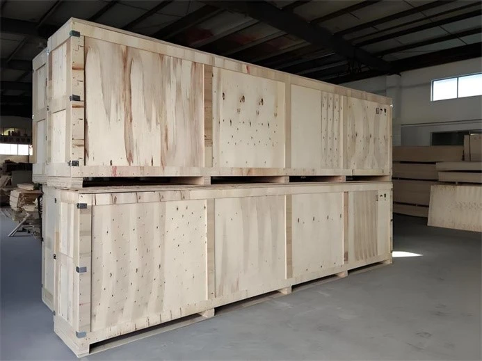
Design the packaging reasonably, taking into account the high humidity environment during the shipping process, and properly moisture-proof the wooden box to ensure that the product will not be damaged by moisture.

Hot Tags: data buoys, China data buoys manufacturers, suppliers, factory, smart buoy for water quality, Buoy tracking system, water tracking buoy, pontoon buoys, monitoring buoy with telemetry, anchor marker buoy